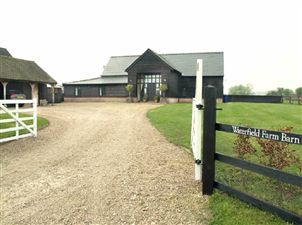
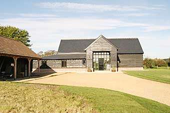
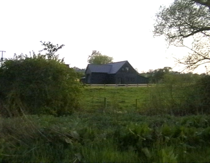
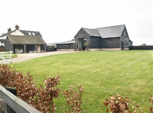
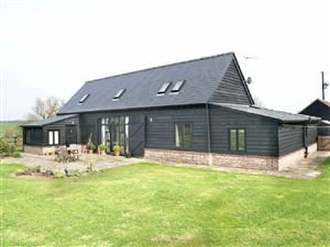
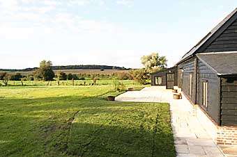
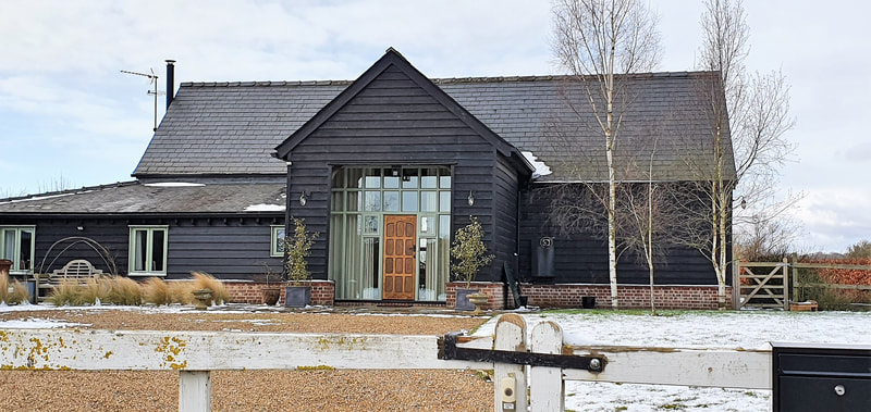
Waterfield Barn
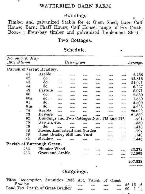
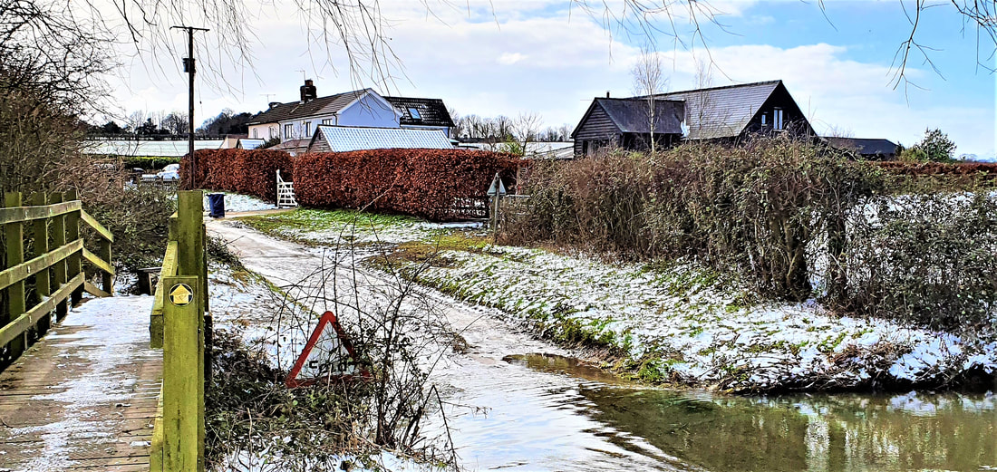
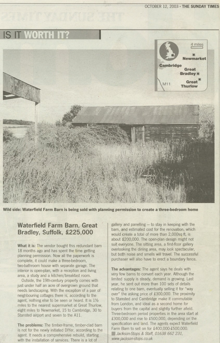
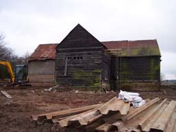
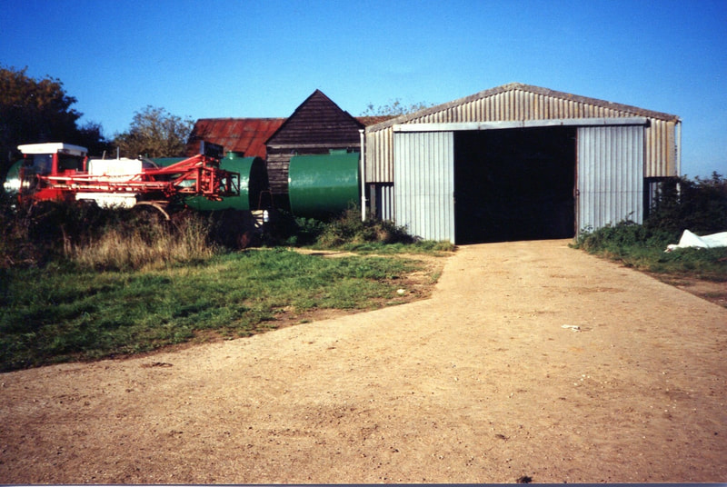
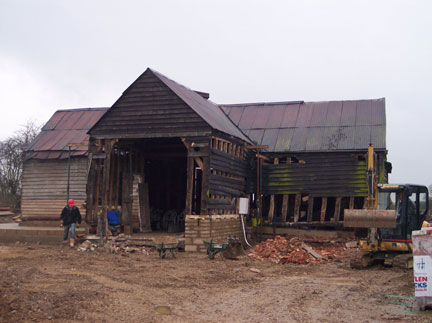
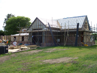
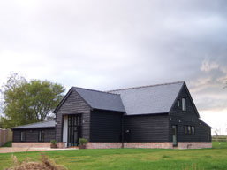
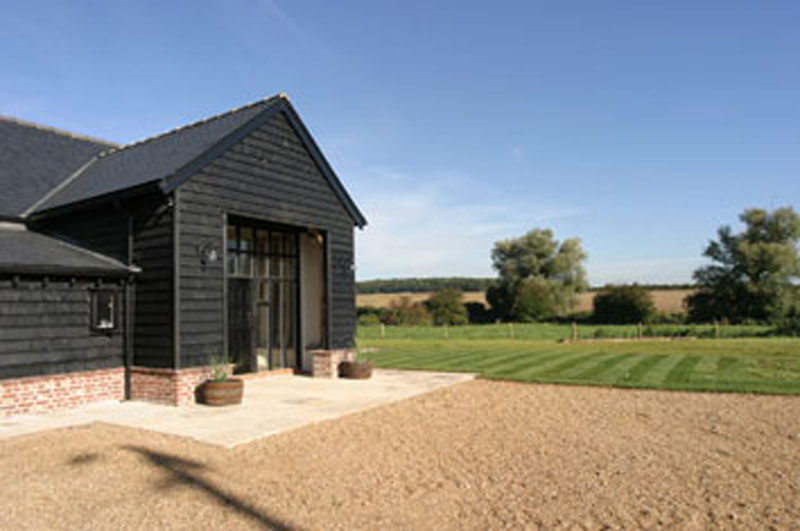
An area called Waterfields is marked on one of the earliest village maps we have, from the late 1700s. There doesn't appear to be access in the way that there is now. As can be seen from the document below, there was a working farm here, along with the two cottages, not just a barn. Buildings can be seen on the maps when the pathway, now called Water Lane, was opened up in the 1800s. The barn itself was converted into a house in the early 2000s.
Click on the pictures to see a larger image or download the sales brochures.
Click on the pictures to see a larger image or download the sales brochures.
For more photos and documents on Water Lane see the Water Lane Archive
| 1900s_waterfield_barn_sale.pdf | |
| File Size: | 3191 kb |
| File Type: | |
