19th Century Maps of Great Bradley
|
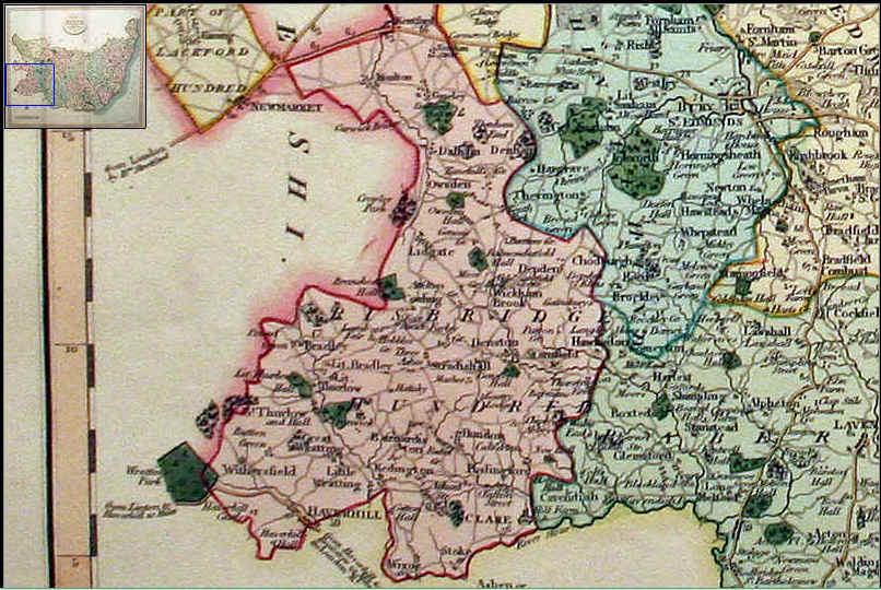
Great Bradley Map of 1807. A map of Suffolk divided into it's Hundreds exhibiting it's roads, river, parks etc by John Cary, engraver, 1807. A fine detailed engraved map of the county. Oval title panel, scale and compass rose. 21 x 18 inches. Original outline and wash hand colouring. Good clean condition. From Cary's New English Atlas.
|
Great Bradley Map of 1835
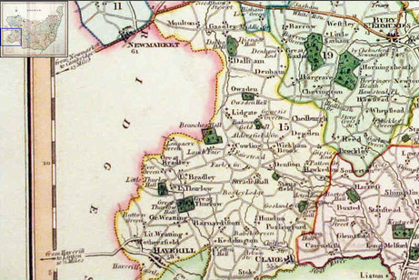
A good detailed engraved map of the county including the Mail Coach Roads. Fine early outline and wash hand colouring. Whatman paper watermarked 1831 & published 1835
Great Bradley is shown as such and it is shown as part of the Risbridge Hundred. Ever Green is also shown
Great Bradley is shown as such and it is shown as part of the Risbridge Hundred. Ever Green is also shown
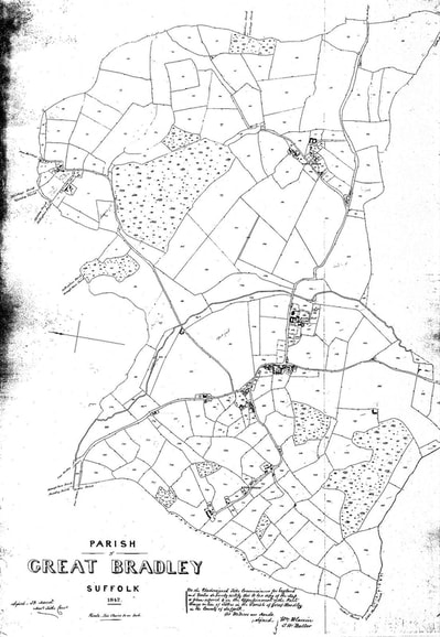
1842 tithe map
Great Bradley in 1855
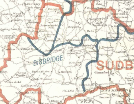
This map represents the proposed boundary changes: The blue bordered regions are the Petty Sessional Divisions and the red are the proposed Parliamentary divisions. For the latter Great Bradley is proposed to be part of Sudbury and the Petty Sessional Division is stamped on this map as Bisbridge. This is a spelling mistake: it should be Risbridge (although some digitisation of books by Google will read Risbridge as Bisbridge!).
1855 1:10560 Ordnance Survey Map
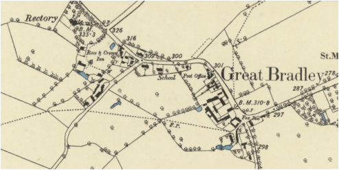
This is from the County Series of Ordnance Survey maps for Great Britain. Begun in 1840, this is the first comprehensive historic mapping of the UK.
FThere is an interactive version at this link www.british-history.ac.uk/os-1-to-10560/cambridgeshire/049/se and this one www.british-history.ac.uk/os-1-to-10560/suffolk/061/ne
FThere is an interactive version at this link www.british-history.ac.uk/os-1-to-10560/cambridgeshire/049/se and this one www.british-history.ac.uk/os-1-to-10560/suffolk/061/ne
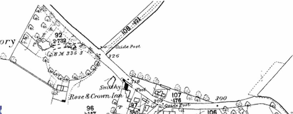
1886: 1:2500 scale
Great Bradley 1895
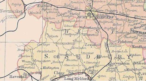
This is the first map to show the railways on the county map.
It doesn't have Little Bradley's on it and just shows Great Bradley as 'Bradley'
It doesn't have Little Bradley's on it and just shows Great Bradley as 'Bradley'
