Great Bradley & River Stour
The East Anglian River Stour flowing through this part of Suffolk is probably the reason why Great Bradley exists at all. 'Stour' means 'mighty river'. Ther are a number of rivers called Stour across the country.
The River Stour rises at about 380 feet above sea level on Wratting Common. The River is 42miles long. It flows for four miles in Cambridgeshire, eight miles in Suffolk and then forms the border between Suffolk and Essex. The Environment Agency give the figure for the length of the river from Sipsey Bridge (at the border of the Great Bradley parish and 4 miles from the source) to Cattawade as 68 miles (108.5 km) including all meanders.
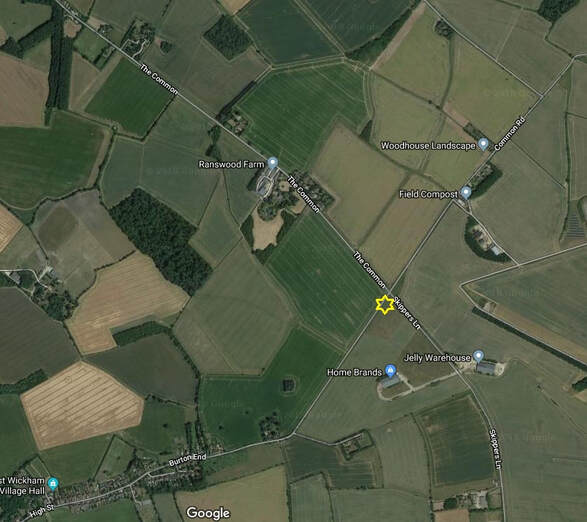
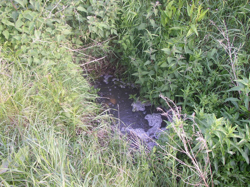
The source is just south of the crossroads between Carlton Grreen and West Wickham
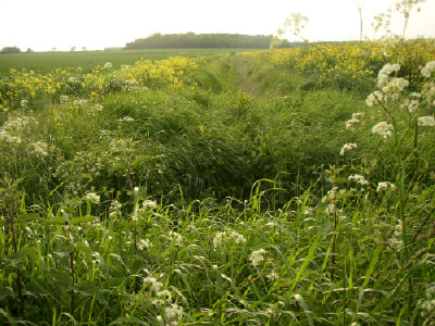
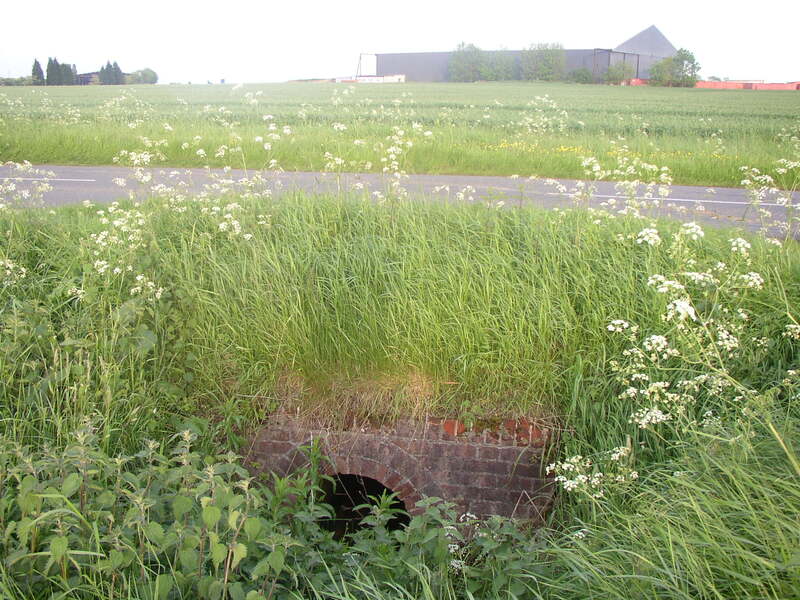
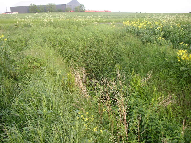
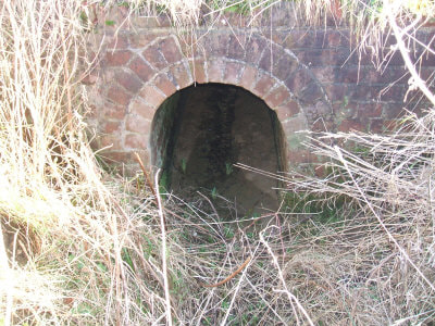
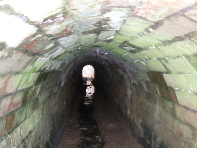
The source is difficult to pin point on the ground as it is actually part of the field drainage system - so it looks like a ditch beside the road rather than the start of the river! What's more, the point shown as the source is actually continuous with the drainage ditch on east side of the road, so there is already water flowing upstream of the 'source'.
The actual location is given by the following:
Grid ref: TL630500 X: 563000m Y: 250000m Lat: 52:07:37N (52.127) Lon: 0:22:39E (0.3776).
The actual location is given by the following:
Grid ref: TL630500 X: 563000m Y: 250000m Lat: 52:07:37N (52.127) Lon: 0:22:39E (0.3776).
